Introduction to Remote Sensing
GEOG/GEOL 455
Now also cross-listed as GEOG/GEOL 655 for Graduate Students
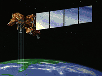
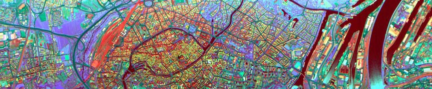
In this course you will gain an overview of the subject of remote sensing, with a special emphasis on principles, limitations and possibilities. In addition, this course emphasizes information literacy, and will develop your skills in finding, evaluating, and using scholarly information. As a survey course, we explore a range of topics from the underlying physical principles to such questions as "Is the government watching you?"
The course has four parts: lectures, laboratory exercises, critical reviews of published papers, and a term paper. In the lectures you will learn about the interaction of electromagnetic radiation and matter, photo-interpretation and image analysis. In the laboratory exercises you will learn how to use these principles to interpret photographs and how to use a computer to rectify, enhance and classify satellite images. You will learn the power, as well as the limitations, of remote sensing through these exercises. The critical reviews and the term paper are closely linked aspects of the course. The critical reviews are designed to lead you into the term paper, and to build your information literacy skills. The reviews and the term paper emphasize critical thinking and polished, structured writing.
This course is the introduction to a sequence of three courses. The follow on courses are Geog 456/656 Remote Sensing Applications, and Geog/Geol 755 Advanced Remote Sensing. A term project, where you will try out some of the ideas developed in these classes, is an important part of both the follow-on courses.
The syllabus for this course is here.
The "LibGuide" for remote sensing produced by Linda Blake, WVU Science Libarian is available here.


